An interactive environmental management tool that helps to increase the environmental literacy of the wider community.

The Ministry for the Environment Manatū Mō Te Taiao appointed Boffa Miskell to assist the Waikawa River catchment communities, organisations, and businesses to develop an Integrated Catchment Management Plan to articulate the community’s aspirations and to list actions to help achieve those goals.

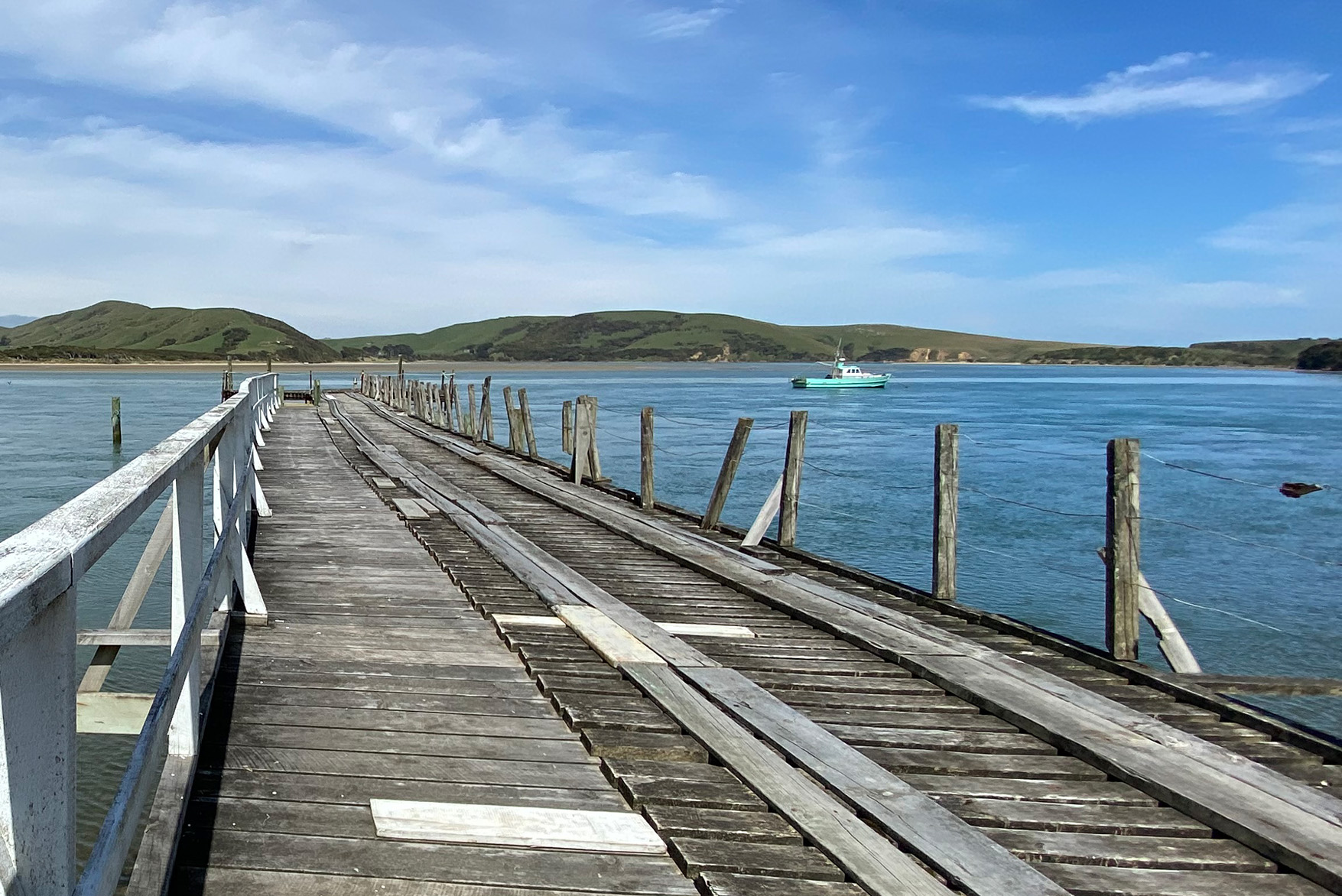
The 23-kilometre Waikawa River flows east then south through the Catlins in the southern South Island and flows into the Pacific Ocean at Waikawa. Close to its mouth, it cascades over a small series of cataracts.

The Waikawa Integrated Catchment Management Plan is a community-led and non-statutory plan that supports the community in improving the health of the Waikawa by providing a platform from which to share values and information, to action projects, track progress and celebrate successes. It aims to assist in planning and carrying out actions for water quality and environmental wellbeing, but also for social, cultural, and economic benefits.  

This ICMP was developed collaboratively at community wānanga / workshops, through online survey submissions and mapping exercises, as well as via email, post, and online gatherings from October 2023 to March 2024. 

Location

Southland

Worked with

Nancy Vance
Liezel Esterhuizen
Jessica Schofield
Holly Rikard-Brown
Caroline Rain
Cassie Horton
Chris Bowen
Councillor Evelyn Cook - Invercargill City Council and mana whenua representative
(Māngai – Waihōpai Rūnaka)

Project date

2023 - 2024

Boffa Miskell landscape architects, ecologists and planners, along with our specialists in engagement, climate change and GIS/geo-mapping worked collaboratively with government and industry stakeholders, local iwi and the wider community to create a management plan that reflects the enthusiasm, collective knowledge and expertise in the area.

The Waikawa ICMP is presented as an ArcGIS StoryMap to facilitate widespread engagement and to allow users to explore on-line at their own pace. It was agreed that an interactive document was the ideal method to illustrate the people and places of the Waikawa catchment through stories, maps and images, as well as providing a single destination where efforts can be organised, and where ideas and actions can be prioritised and implemented.

The StoryMap was produced by Boffa Miskell and is hosted on-line by Environment Southland. It is a community-led and non-statutory plan that provides a platform from which to share values and information, to action projects, track progress and celebrate successes. It aims to assist in planning and carrying out actions for water quality and environmental well-being, along with social, cultural, and economic benefits.  

 View the StoryMap here

image-5