The Teviot Valley Spatial Plan aims to strike a balance between providing a mix of business areas and housing choices through land use changes, while maintaining and protecting rural productivity, and enhancing recreational opportunities. The plan enables growth and future development in a way that protects what makes the area so special to residents, while also creating opportunities to attract more people, businesses and visitors to the area.
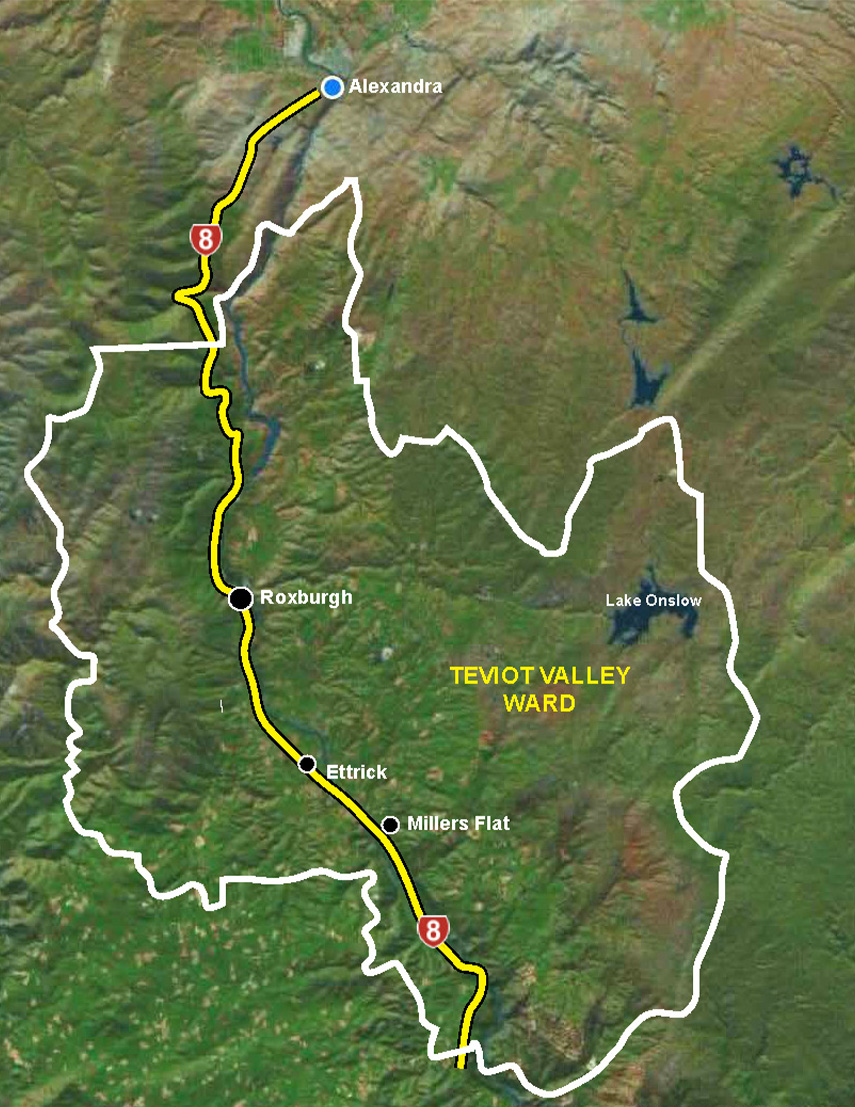
The Teviot Valley Spatial Plan focuses on the four main settlements in the valley Roxburgh, Lake Roxburgh Village, Ettrick and Millers Flat each with their distinct communities that also support and service the wider Teviot Valley region.
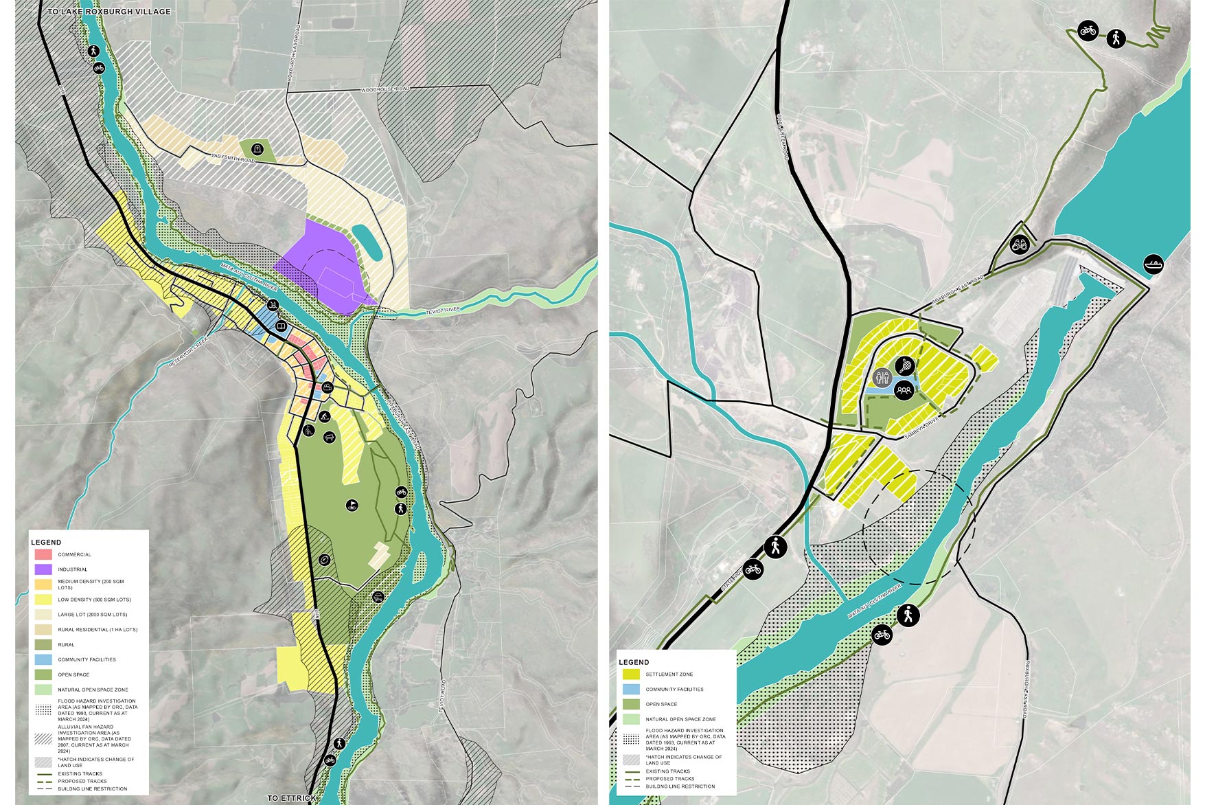
Roxburgh is the principal township in the Teviot Valley, with a rich heritage and a strong community identity. The Spatial Plan for Roxburgh supports its role as a resilient centre by enabling diverse housing options and consolidating industrial activity.
Originally built to house hydro dam workers, Lake Roxburgh Village retains a quiet residential character. The Spatial Plan introduces flexibility through Settlement Zoning and enhances recreational connectivity.
Ettrick is a productive horticultural hub with limited infrastructure. The Ettrick Spatial Plan reflects existing land use while enabling future complementary activities.
Millers Flat is a quiet village with strong community values and recreational assets. The Spatial Plan supports sustainable growth and housing diversity.
The Teviot Valley Spatial Plan has been adopted by the Central Otago District Council and will guide:
- Future zoning changes through District Plan reviews.
- Infrastructure planning and investment, particularly for water and wastewater services.
- Community-led initiatives to enhance recreational and cultural assets.
- Collaboration with mana whenua to protect and celebrate cultural heritage.
- Economic development strategies to diversify employment and attract residents.
Boffa Miskell provided urban design, landscape planning, landscape architecture and engagement services.